The Bhabar region is a unique geographical area in India, located at the foot of the Himalayas. It lies between the Shivalik Hills and the Tarai region. This region is made up of coarse sand, pebbles, and boulders carried by rivers from the mountains.
Because of its porous soil, rivers disappear underground, making the land dry and not suitable for farming. However, the Bhabar region is important for forest resources and wildlife. It also acts as a natural barrier against floods for the plains of North India.
✅ Physiography of India [Complete Overview Notes]
✅ Explore the Complete List of Indian Geography Topics
Division of Indo-Gangetic Plains
| Region | Location | Key Features | Major Cities |
|---|---|---|---|
| Bhabar | South of the Lower Himalayas and Sivalik Hills (Garhwal & Kumaon, Uttarakhand) | Porous, alluvial deposits; acts as a recharge zone for rivers | Dehradun, Haridwar, Haldwani, Rishikesh, Ramnagar, Tanakpur, Kotdwar |
| Terai | South of Bhabar, running parallel to it | Marshy land with high water table; rich in biodiversity | Pilibhit, Lakhimpur Kheri, Bahraich, Udham Singh Nagar |
| Bangar | Higher floodplain of the Indo-Gangetic Plain | Older alluvium, well-drained, fertile soil | Agra, Mathura, Etawah, Kanpur |
| Khadar | Low-lying floodplain along riverbanks | Newer alluvium, highly fertile, frequently flooded | Allahabad (Prayagraj), Varanasi, Patna, Kolkata |
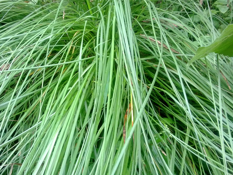
Significance of Bhabar Grass (Eulaliopsis binata)
| Aspect | Details |
|---|---|
| Scientific Name | Eulaliopsis binata |
| Local Importance | The term Bhabar originates from this tall-growing grass. |
| Primary Uses | Paper manufacturing and rope production. |
| Paper Making | The fibrous nature of Bhabar grass enhances paper strength and durability. |
| Rope Production | The long fibers make it ideal for strong and durable ropes, used in agriculture and industry. |

Overview of the Bhabar Plains
| Aspect | Details |
|---|---|
| Location | Situated in the Kumaon and Garhwal regions. |
| Geographical Features | A gently sloping, coarse alluvial zone beneath the Sivalik Hills. |
| Unique Hydrology | Streams disappear into permeable sediments, with underground water rising in the Terai below. |
| Major Rivers | Ganges River (west) and Sharda River (east) define its boundaries. |
| Economic Importance | Acts as a trade & commerce hub, especially in cities like Haldwani. |
| Agricultural Significance | Monsoon replenishes topsoil, leading to high agricultural yields. |
Historical Overview of the Bhabar Region
| Aspect | Details |
|---|---|
| Historical Division (1901) | Bhabar was one of the four divisions of the Nainital district. |
| Population (1901) | 93,445 people across 4 towns and 511 villages. |
| Area (1901) | 1,279 square miles (approx. 3,310 km²). |
| Present-Day Location | Corresponds to the Haldwani subdivision. |
| Traditional Land Use | Used by Gujjar cattle herders from Kumaon & Garhwal. |
| Seasonal Migration | Herders migrated in winter for pastures & favorable climates. |
| Economic Importance | A key hub for agriculture & cattle herding in the region. |
